|
|
|
Ohio and Columbus, OH MSA Area -- State, Regional & Local GeoDemographics Applications reviewed on this Web page demonstrate use of CommunityViewer with geography in Ohio with focus on the Columbus MSA. Initial view at project start-up. 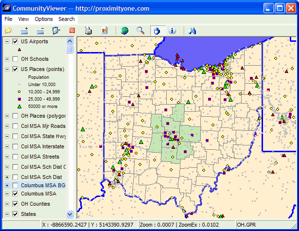
Same view, schools layer turned on: 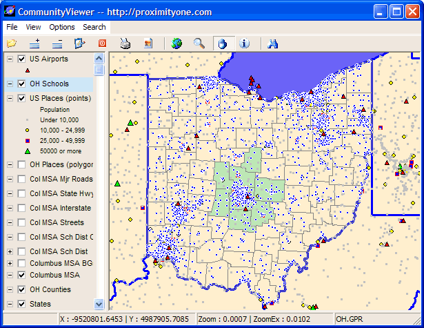
Zoom into Columbus MSA area; school layer turned off; places (polygons) turned on: 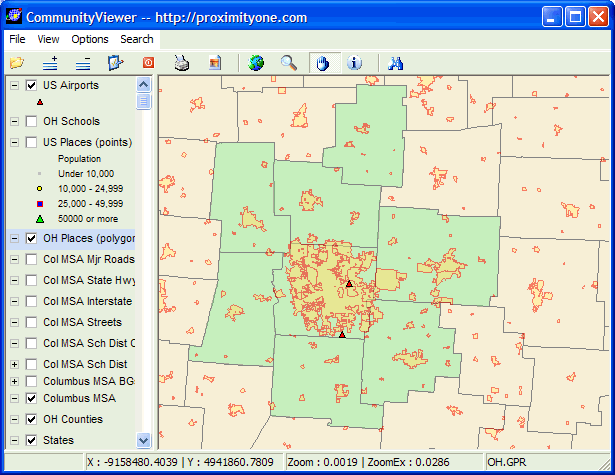
Counties labeled, making it easy to see which counties are in the MSA by name: 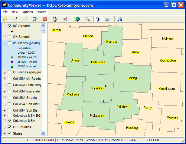
Interstate and major roads layers for the Columbus MSA turned on: 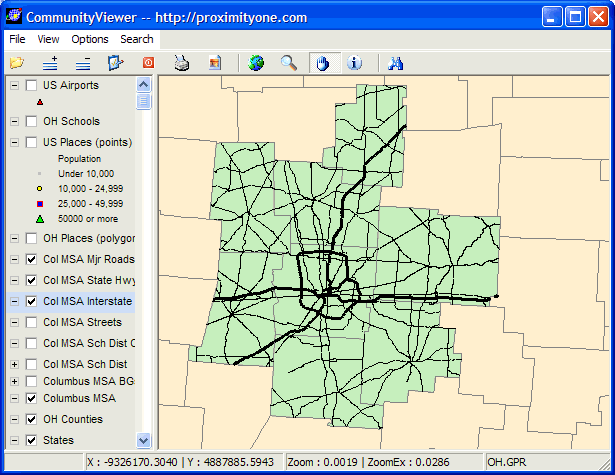
Columbus MSA school districts and Interstates layers turned on: 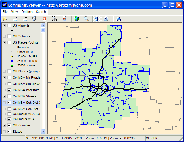
Median Household Income by school district: 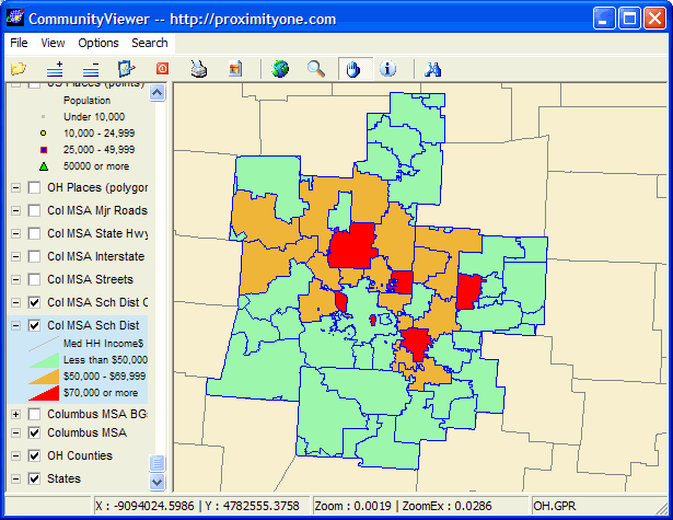
Median Household Income by block group with school district outlines: 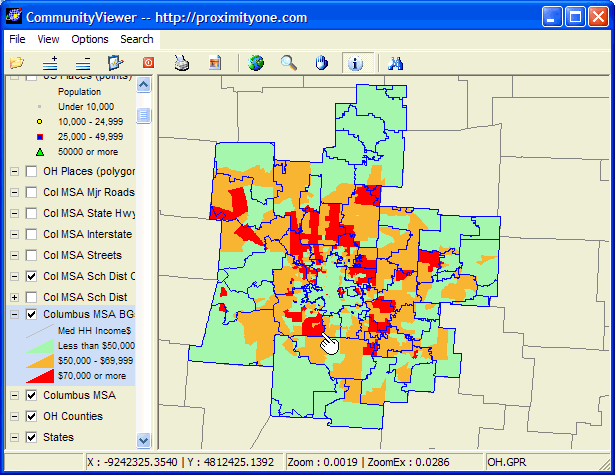
Zoom-in to the South-Western City School District (see pointer in above map). -- profile shows demographic attributes for the district. 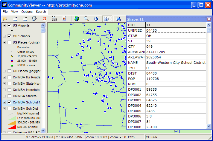
A further zoom-in to the district showing block group thematic map and schools: 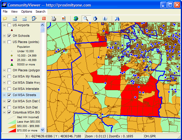
Simialr view with BG layer off and streets layer on with schools: 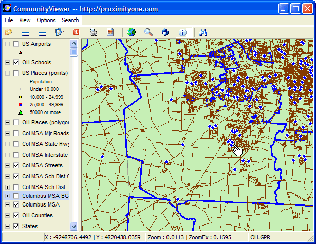
Further zoom to street and school address level. Identify tool used to profile Park Street Intermediate school: 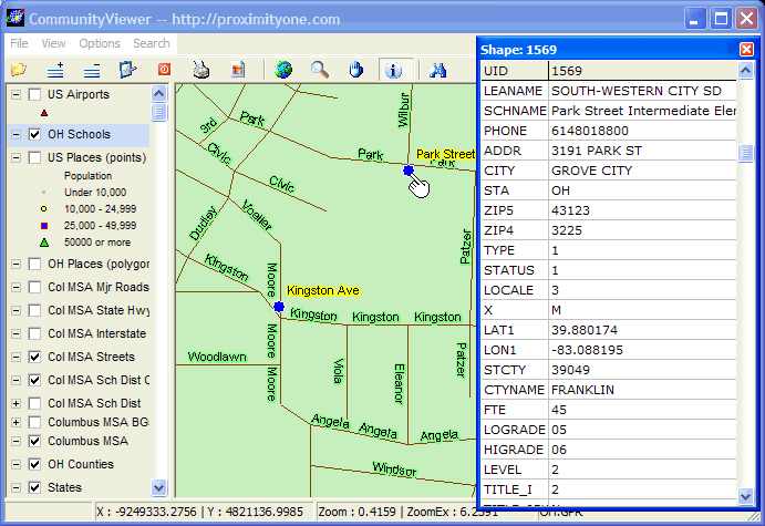
Same view, streets layer active, street (Park Street) segment where School located is profiled. -- note the address range on the left and right side of the street segment is presented. 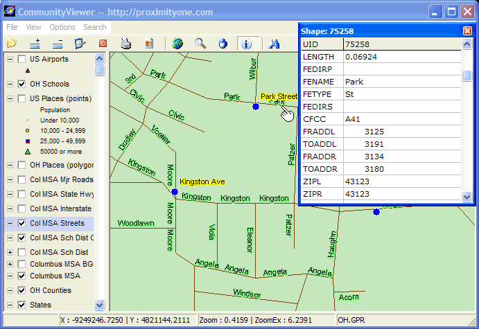
[goto top] |
|
|