Projections and Coordinate Systems

Contents
Set the projection, or modify the coordinate system, for a project or a shapefile.
Access
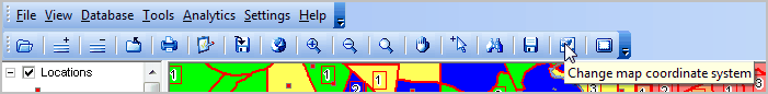
Use Toolbar1 button "Change coordinate system"
Setting Project Projection
The coordinate system of a shapefile does not need to be modified to view the geography in a different projection.
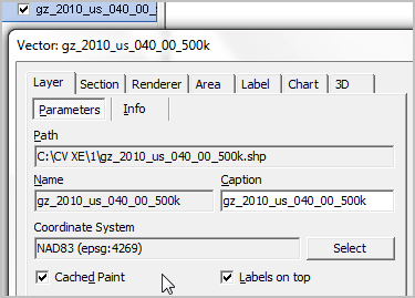
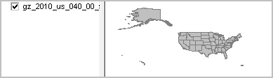
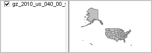
Open a TIGER/Line shapefile (GCS NAD 83)
Save the project.
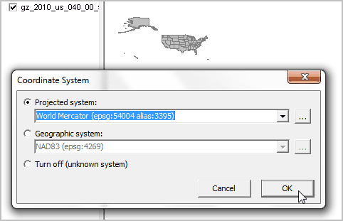
Set the project coordinate system to Mercator.
Save the project.
The shapefile projection is not modified. The project may be closed and reopened and the Mercator projection is retained.
Verify the shapefile projection setting using the Layer Editor