|
Accessing School District Data |
  
|
| Show/Hide Hidden Text |
|
Accessing School District Data |
|
| Show/Hide Hidden Text |
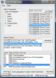 Select the School District geography radiobutton and the geography listbox populates with school district codes and names.
DblClick a school district and it appears as the selected geography in the lower left section of the status bar.
When school district is selected, the dataset options include:
Census 2000 School District Special Tabulation • Tables for total population • Subset of Census 2000 Summary File 3
Census 2000 School District Special Tabulation • Tables for total relevant children • Subset of Census 2000 Summary File 3
Census 2000 School District Special Tabulation • Tables for total relevant children enrolled in public school • Subset of Census 2000 Summary File 3
Census 2000 School District Special Tabulation • Tables for total relevant children not enrolled in school • Subset of Census 2000 Summary File 3
Students, Staff and Schools • Latest school year administrative data reported by state/school districts • National Census for Education Statistics Common Core of Data |
When any one of the Census 2000 summary files is selected (dbl-click), the Select Table listbox populates with available subject matter tables. |
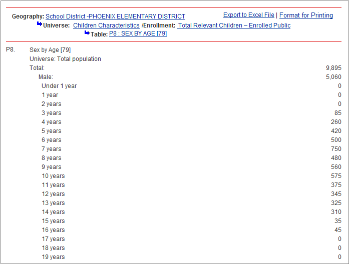
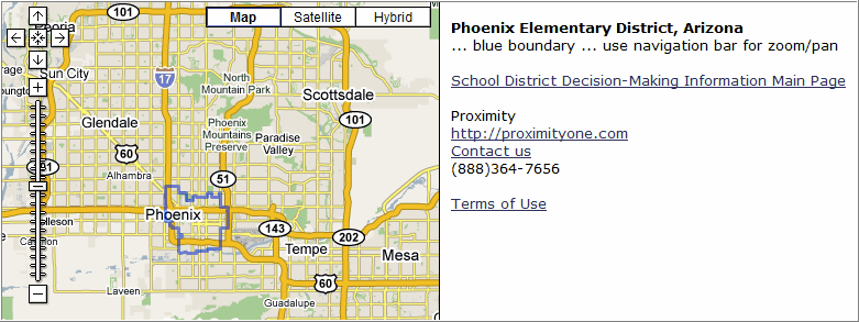
Example of data displayed (Census 2000 SDST): Phoenix Elementary, AZ
|
|
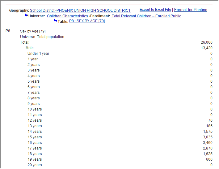
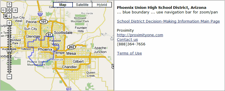
Phoenix Union/Secondary, AZ
|
|
Page url: http://proximityone.com/dmigateway/guide/index.htm?school_district_data.htm