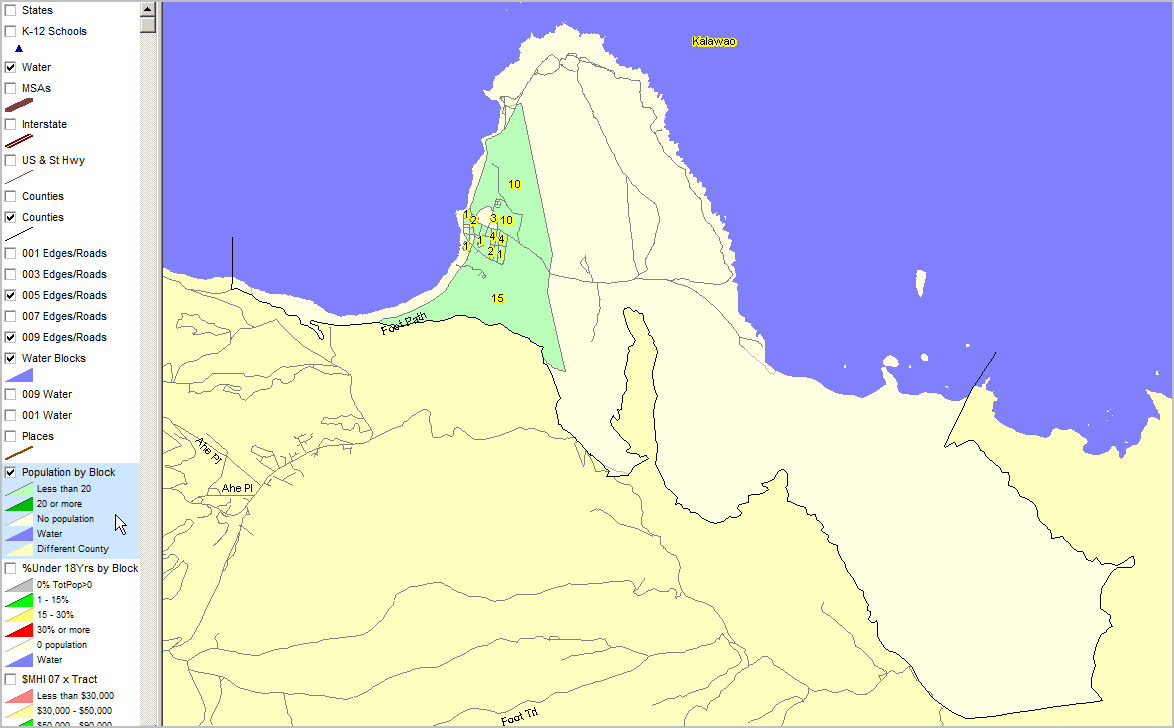
Kalawao

Contents
Selected CommunityViewer project/application views in Hawaii.
Navigate to sub-state areas: click on expanding text menu in left panel to view available sections.
The toggle graphic -- ![]() -- indicates an expanding section. Click the toggle or toggle line to view/close expanding sections.
-- indicates an expanding section. Click the toggle or toggle line to view/close expanding sections.
Integrating Census 2010 TIGER Shapefiles, ACS 2009 5-year demographics, Census 2010 demographics and related data..
See related interactive ranking tables:
| • | Hawaii census tract demographics: http://proximityone.com/ustr0509_hi.htm. |
| • | Census 2010 demographics: http://proximityone.com/cen2010_pl94171.htm |
(all US geography: state, congressional district, county, school district, city/place, metro)
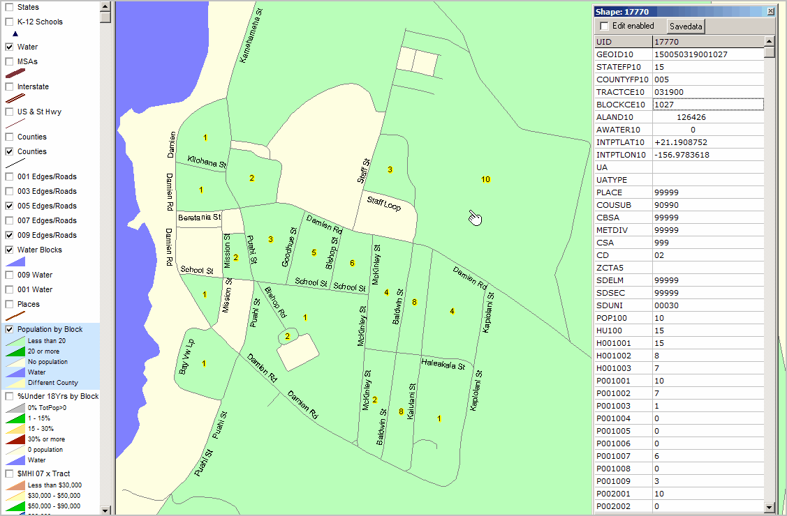
Populated census blocks green fill pattern. Census blocks labeled with total population. Maui County yellow/beige fill pattern to south.
|
Census blocks labeled with total population. CV Identify Tool used to show profile of one census block (see pointer). Mini-profile shows racial distribution for 10 residents.
|