|
|
|
Kansas City, MO-KS Metropolitan Area -- Schools, Communities and Regional GeoDemographics Views of the Kansas City metro area, produced using the Proximity CommunityViewer software, are presented on this Web page. Layers are shown in the Legend at left. Map window shows active layers "stacked." Light yellow counties are the extended region counties. Light green counties comprise the current official Kansas City MO-KS metropolitan statistical area. 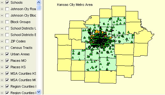
KC Urbanized Area and Urban Clusters 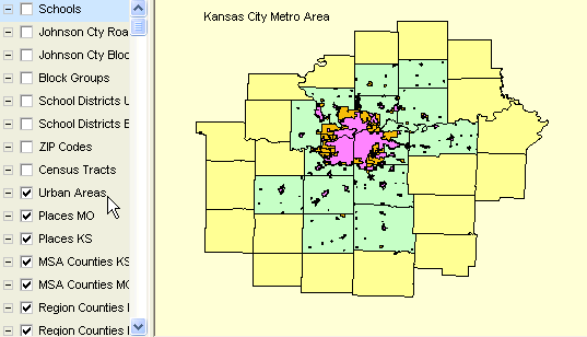
KC Places (cities and designated places). 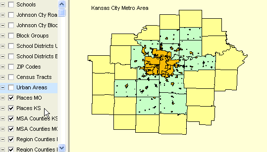
KC Metro school districts. 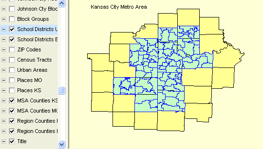
KC Metro area ZIP codes. 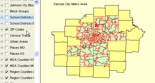
KC Metro Median Household Income by Block Group (1500 areas). 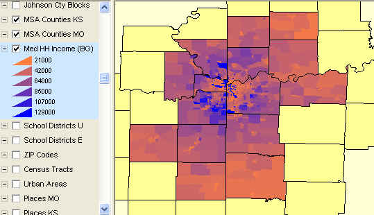
KC Metro Median Household Income by Block Group (1500 areas) -- Zoom-in View. 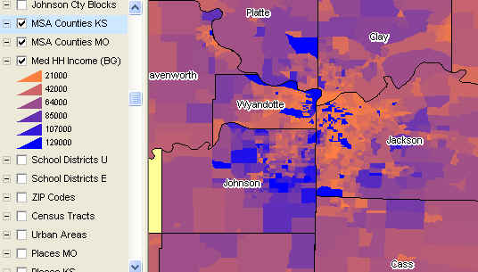
Zoom into Johnson County, KS showing streets and schools. 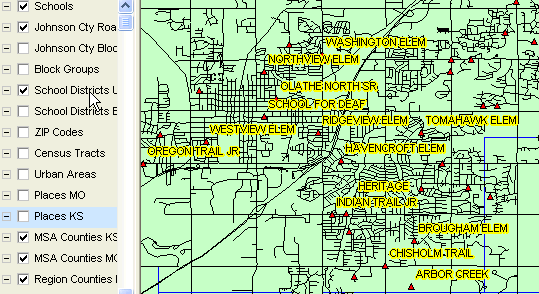
Further zoom showing schools, streets, and profiling one school. 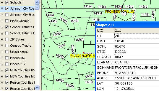
[goto top] |
|
|