Healthcare
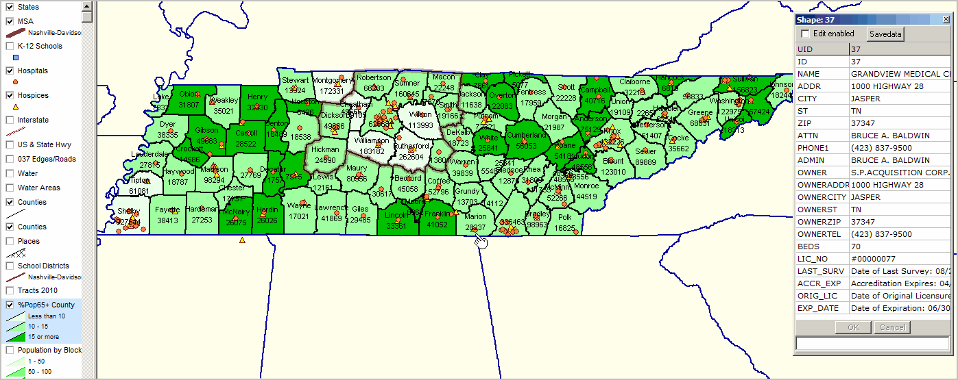
Tennessee by county thematic map showing percent population age 65 years and over -- see colors and intervals in blue highlighted layer in legend at left of map
County names and total population shown as labels. Hospices and hospitals shown as markers (see legend at left of map). Profile of selected hospital (see pointer/hand) in Marion County shown at right of map.
|
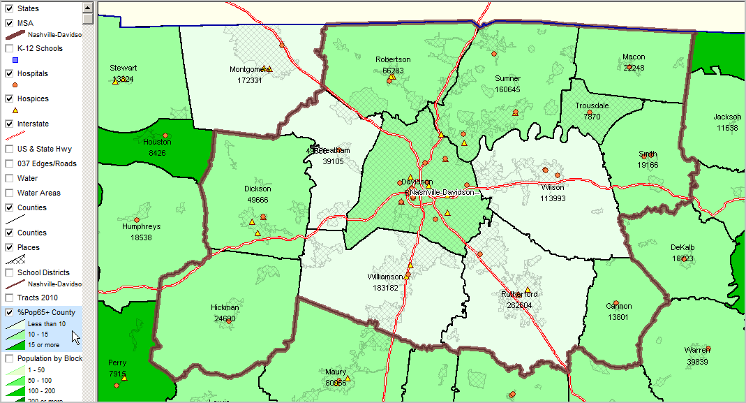
Relative to above view: - Interstate added. - Cities/places added (cross-hatch pattern) - Metro boundary color darker
|


