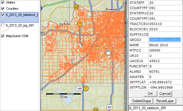
Census blocks are the smallest areas for which Census Bureau data are tabulated.
Overview -- Scroll section ...
Census blocks are statistical areas bounded on all sides by visible features, such as streets, roads, streams, and railroad tracks, and by non-visible boundaries such as city, town, township, and county limits, and short line-of-sight extensions of streets and roads. Generally, census blocks are small in area; for example, a block in a city. Census blocks in suburban and rural areas may be large, irregular, and bounded by a variety of features, such as roads, streams, and/or transmission line rights-of-way. In remote areas census blocks may encompass hundreds of square miles. Census blocks cover all territory in the United States, Puerto Rico, and the Island areas.
Blocks never cross county or census tract boundaries. They do not cross the boundaries of any entity for which the Census Bureau tabulates data, including American Indian, Alaska Native, and Native Hawaiian areas, congressional districts, county subdivisions, places, state legislative districts, urbanized areas, urban clusters, school districts, voting districts, or ZIP Code Tabulation Areas (ZCTAs) or some special administrative areas such as military installations, and national parks and monuments.
Census Block Numbers—Census 2010 blocks are numbered uniquely within the 2010 boundaries of each state/county/census tract with a 4-digit census block number. The first digit of the tabulation block number identifies the block group.
Current Geography— The relationships that hold true for 2010 census blocks, including that blocks are uniquely numbered within census tracts and that the first digit of the block number identifies the block group, do not always hold true for current census blocks. The Census Bureau renumbers blocks only once each decade. Therefore, changes to legal boundaries and feature reshapes in the MAF/TIGER database can cause blocks to move into different block groups and tracts. In some cases, blocks need to be split to accommodate changes in legal entity boundaries occurring after January 1, 2010 and the Census Bureau assigns a current alphabetic suffix to the 2010 Census block number. The current suffixes for 2010 Census block numbers are not permanent and will change with each annual cycle of current block suffixing. In other cases, tract boundaries can change due to reshaping features to make them more spatially accurate. In these cases, even blocks that do not need to be split can move into a different
tract, making it possible to have duplicate block numbers within a tract.
Due to potential updates to the codes, it is important not to mix 2010 Census geographic codes with current geographic codes. A block can only be unique by using the decennial census state, county, tract, and block group, or STATEFP10 + COUNTYFP10 + TRACTCE10 + BLKGRPCE10, to get the correct block group corresponding to the BLOCKCE or BLOCKCE10. (Note that BLOCKCE10 and BLCOCKCE are always identical.) Replacing any of these decennial codes with current codes can lead to false duplicate and/or noncontiguous blocks, as well as state, county, tract, and/or block group changes. This is why the current block shapefile includes STATEFP10, COUNTYFP10, TRACTCE10, and BLOCKCE10.
Census Block Numbers
Block group number 0 to 9—First numeric character
000 to 999—Second, third, and fourth numeric characters
Current Suffix for 2010 Census Block Number
A to Z—Codes for current suffix for 2010 Census block numbers
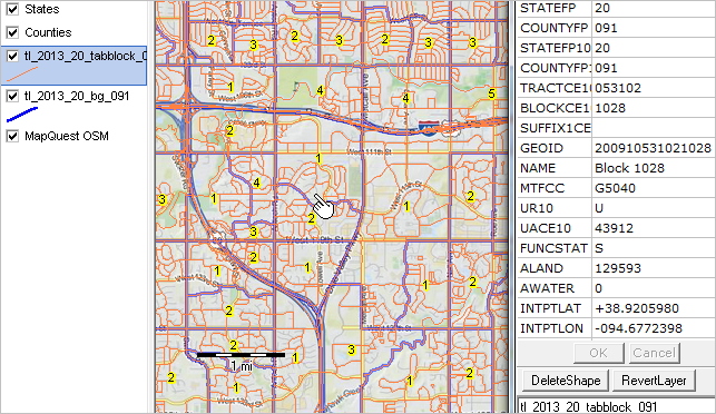
Zoom-in view -- block 1028 in tract 053102 in county 091 in state 20
tl_2013_st_tabblock dbf attributes
Block State-based Shapefile Record Layout (Current)
tl_2013_[state FIPS]_tabblock.shp
Field
Length
Type
Description
STATEFP
2
String
Current state FIPS code
COUNTYFP
3
String
Current county FIPS code
STATEFP10
2
String
2010 Census state FIPS code
COUNTYFP10
3
String
2010 Census county FIPS code
TRACTCE10
6
String
2010 Census census tract code
BLOCKCE10
4
String
2010 Census tabulation block number
SUFFIX1CE
1
String
Current census block suffix 1
GEOID
16
String
Block identifier; a concatenation of 2010 Census state FIPS code, 2010 Census county FIPS code, 2010 Census tract code, 2010 Census tabulation block number and current block suffix 1
NAME
11
String
Current tabulation block name; a concatenation of ‘Block’, the current tabulation block number, and current block suffix 1
MTFCC
5
String
MAF/TIGER feature class code (G5040)
UR10
1
String
2010 Census urban/rural indicator
UACE10
5
String
2010 Census urban area code
FUNCSTAT
1
String
Current functional status ALAND 14 Number Current land area