Caribbean

Contents
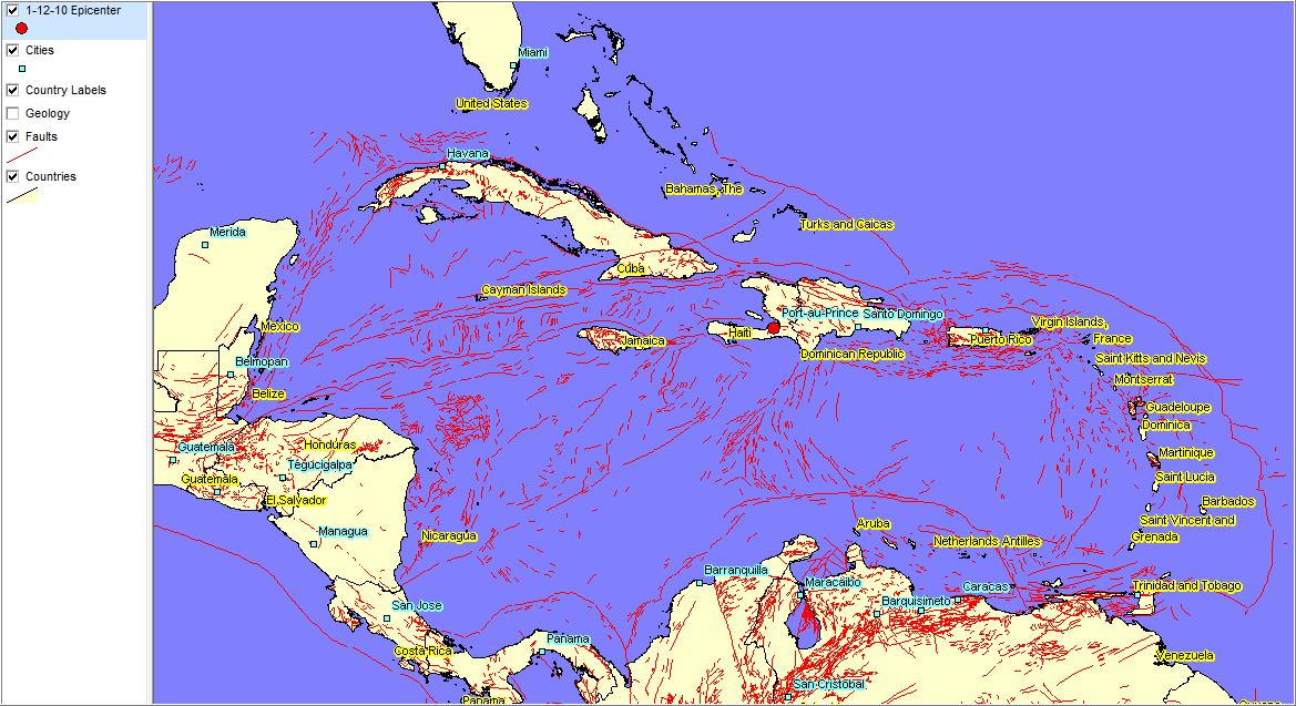
Examining Caribbean GeoDemographics
Applications illustrating use of the CV XE GIS software to view/analyze selected topics and patterns in the Caribbean.
Applications illustrating use of the CV XE GIS software to view/analyze selected topics and patterns in the Caribbean.