Kansas City Metro Area
Illustrating use of CommunityViewer to view/analyze geodemographic-economic characteristics, patterns and trends with drill down to intersection level.
View demographic-economic trends profile for Jackson County, MO; Johnson County, KS; access other county demographic profiles via ranking table links.
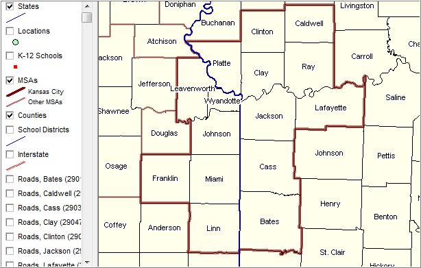
Counties labeled with county names
|
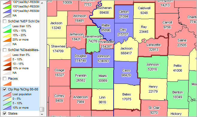
Thematic pattern (colors) show percent change 2000 to 2008 Label below county name shows 2008 population
|
|
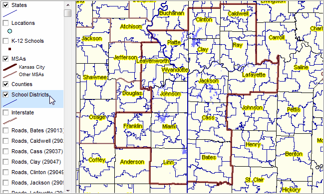
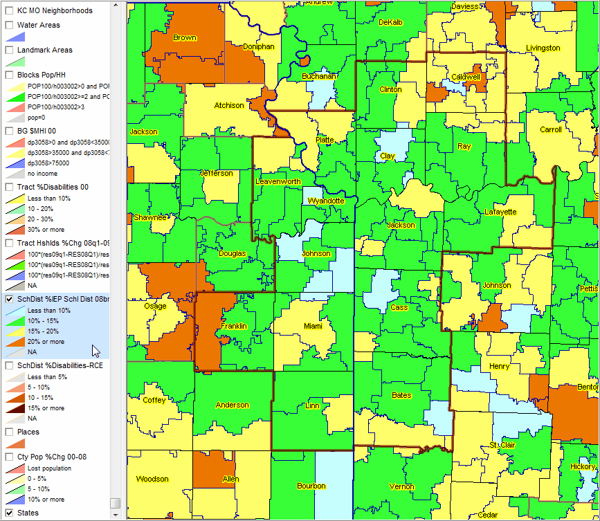
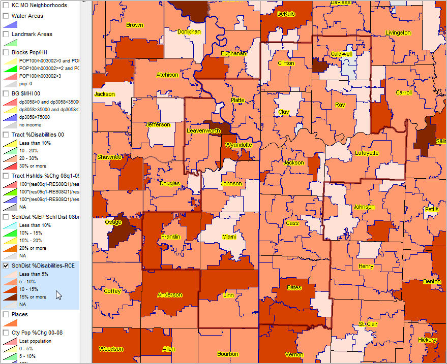
School district shown with blue boundaries
|
IEP Individual Education Program Based on school district reported data for 06-07 school year
|
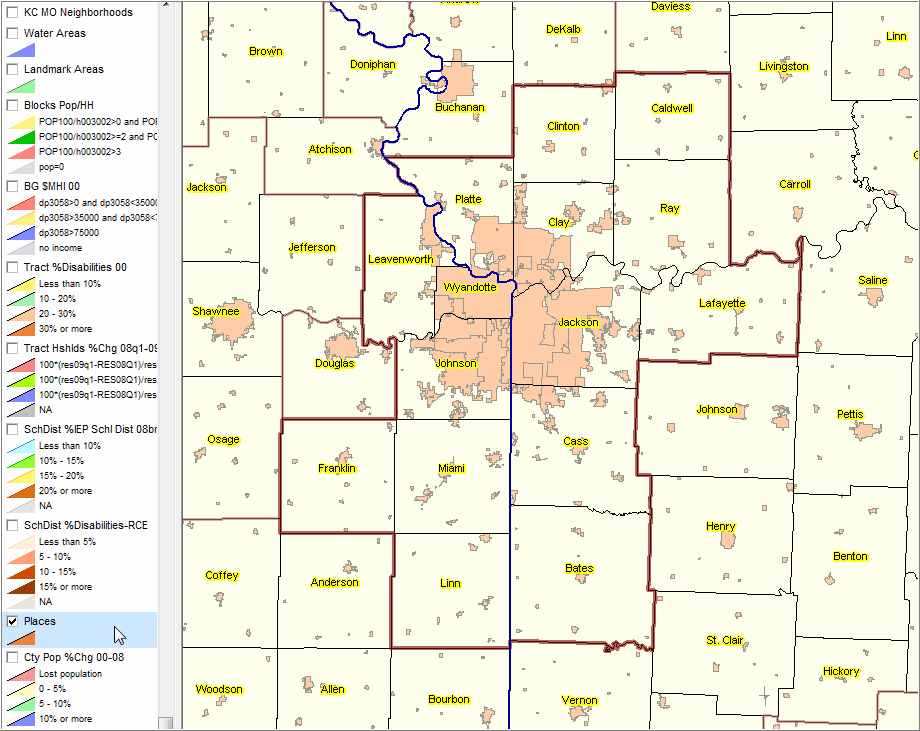
School districts removed Place boundaries set to black
|
Kansas City, MO city shown with yellow highlight Other places shown with orange-brown fill pattern Identify tool used to profile KC, MO place
|
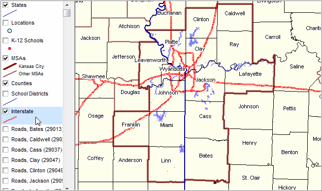
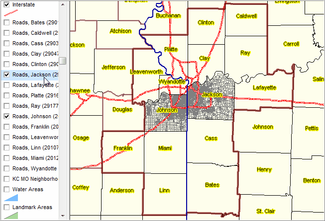
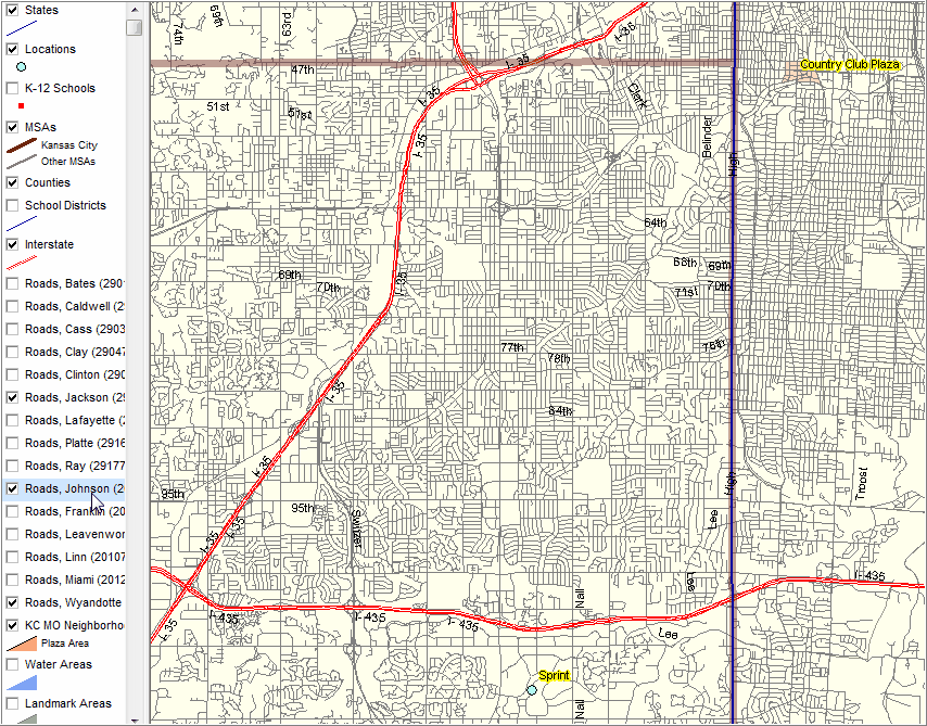
As shown in legend panel, details roads are included for all counties. In this view roads for two counties are displayed.
|
Street detail for Johnson, KS, Wyandotte, KS & Jackson, MO counties (bolded brown transparent boundaries)
|
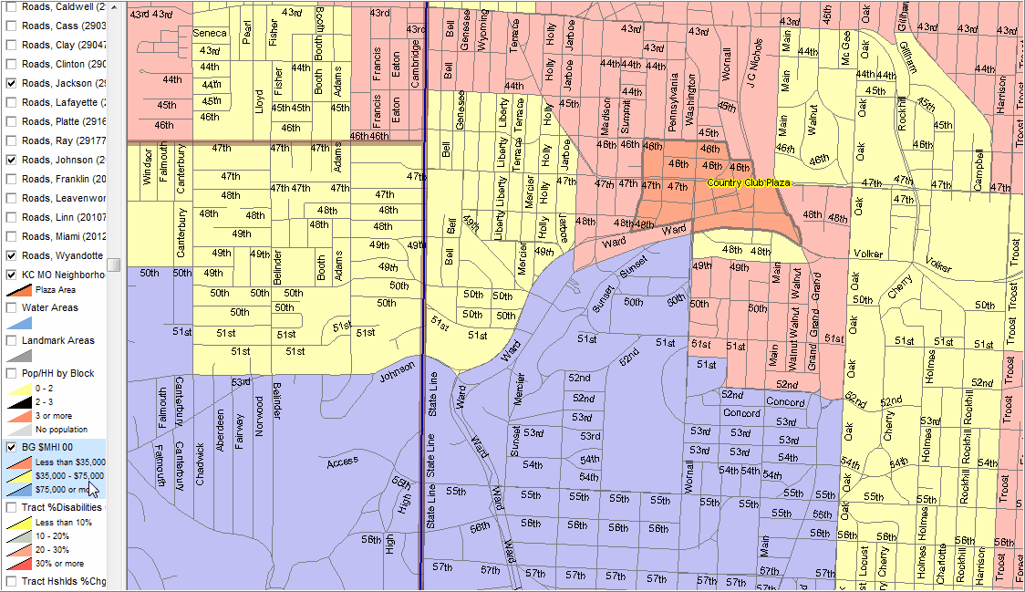
Zoom-in to Plaza area (orange) shown in previous view. Median household income by census block group shown with transparency.
|

