|
K-12 School Interactive Web Maps |
  
|
|
K-12 School Interactive Web Maps |
|
Interactive School Web Data Access
See http://proximityone.com/hi_schools.htm to view Hawaii K-12 public school locations and attributes using interactive mapping. The following graphic shows the "mouse-over" view that displays to identify a school.
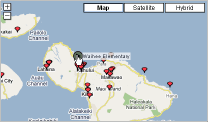
Locating a school of interest, click on the green marker and the mini-html displays.
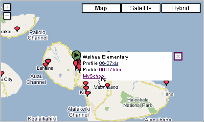
Click on any one of the links for more information. See the main schools page for more information.
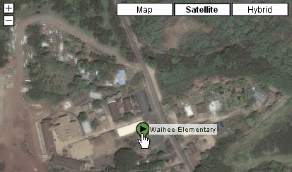
Zoom-in View with Satellite option on
Page url: http://proximityone.com/hidmi/guide/index.html?k12_interactive_web_maps.htm