|
|
|
School District Boundary Files Proximity maintains a national set of continuously updated school district boundary files for use in mapping and geospatial analysis applications. Acquire the school district boundary files (in shapefile structure) that you need for one district, region, state, or the U.S. Optionally use these boundary files with integrated demographics and other types of geography using the CommunityViewer software. Register for additional information. Elementary, Secondary and Unified School Districts 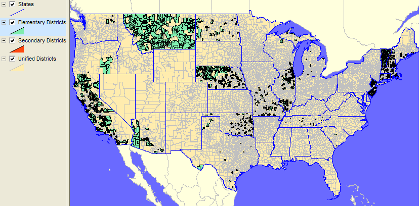
Secondary and Unified School Districts 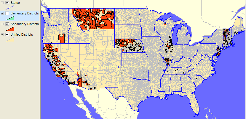
Unified School Districts (darker shaded areas have no unified districts) 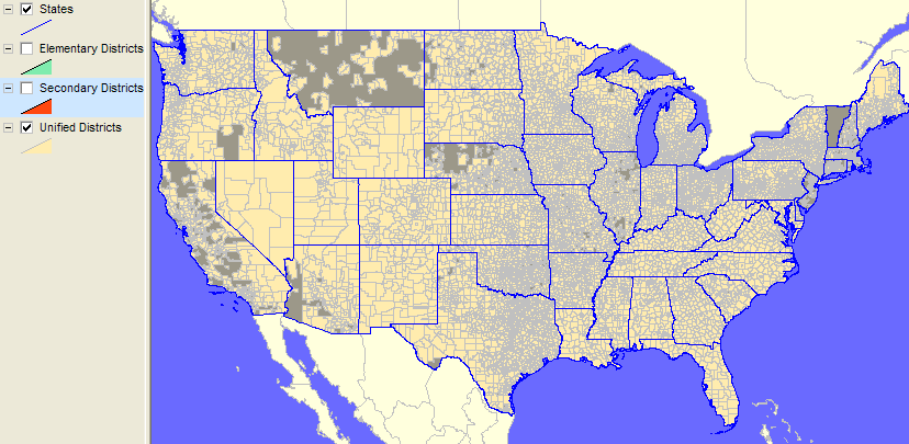
[goto top] |
|
|