Navigation:  Basic SDGIS >

SDGIS Examples

Previous pageReturn to chapter overviewNext page
Show/Hide Hidden Text

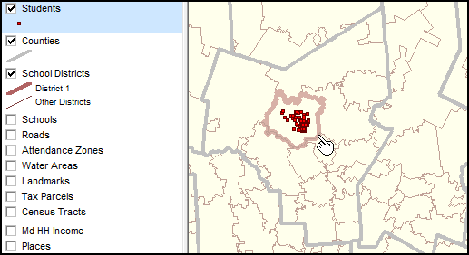
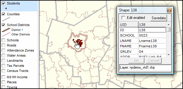
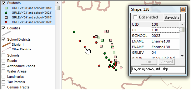
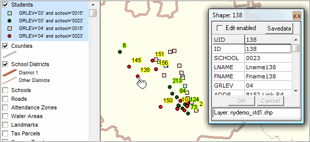
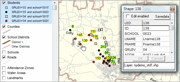
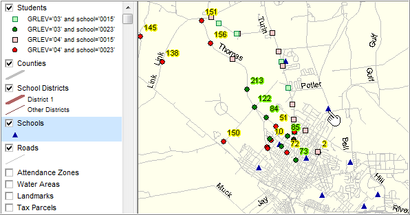
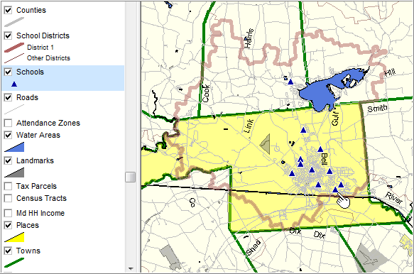
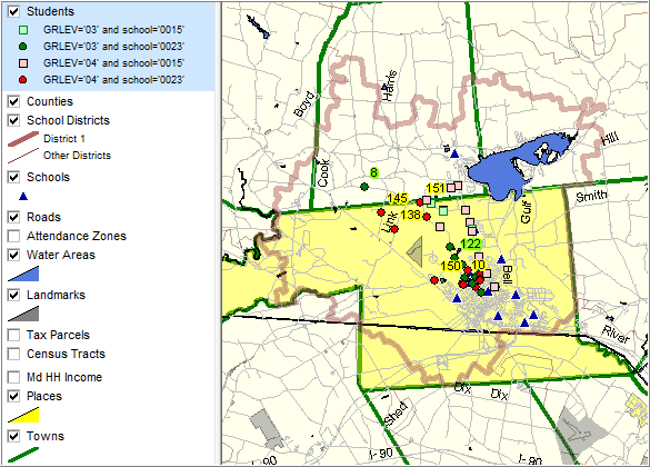
Basic SDGIS Feature and Operation Examples


Geocoded students, school district boundaries, county boundaries


View students, districts, county; using identify tool


Zoom-in


Label students by ID; using identify tool to profile different student


Adding Roads


Adding Schools


Zoom out; towns, places; landmark & water areas


As above; "clicking-on" student layer on; illustrates integration other layers


Page url: http://proximityone.com/sdgis/guide/index.htm?option_1_examples.htm