Geocoder

Contents
Tools>Geocoder geocodes address-based data, creates shapefile, adds shapefile as Layer to Legend Panel, shows Layer in Map Window.
Availability
An option to Level 3
Usage
Start the GeoCoder from the Main menu .. Tools>Geocoder
Related Information
Start-up View
The following graphic shows the start-up view of the GeoCoder form when VDA is installed with default installer settings.
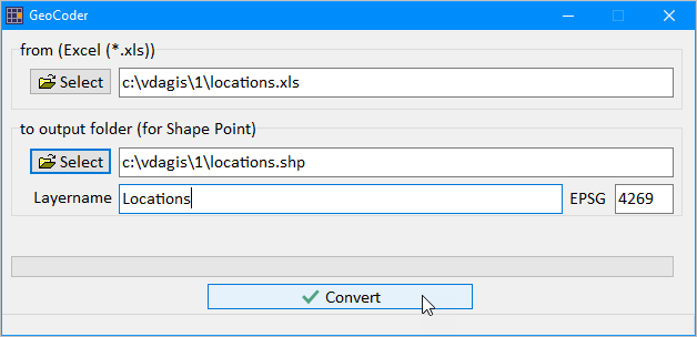
When the Convert button is clicked, the file named c:\vdagis\1\locations.xls will be geocoded;
the file named c:\vdagis\1\locations.shp will be created and added to the active project.
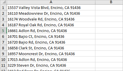
The file locations.xls is included with the installer and contains 28 address records in the Encino (Los Angeles), CA area.
A partial view of the file is shown below.
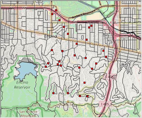
When the GeoCoder completes the geocoding process, the shapefile is generated and added to the existing project.
The following view shows all 28 geocoded points in context of the Census 2020 blocks and the topology layer.
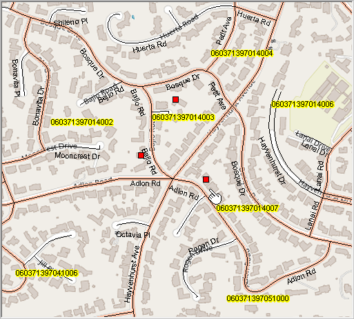
The next view shows a zoom in, with census blocks shown with orange boundaries and labeled with the census block code.
Details streets are also shown in this view.
Note the accuracy of the geocoding to rooftop on the corresponding structure footprints in the topology layer.