Table/Grid
The Table/Grid is used to open the fields in a shapefile/SQLite file underlying the Active Layer. Layers are shown in the Legend Panel.
The Table/Grid feature operates on the Active Layer.
Make a layer the Active Layer by clicking on the Layer Name in the Legend Panel.
Start the Table/Grid clicking SQL button located at top right on the toolbar.
Availability
Viewer and Level 1, 2, 3; specific operations vary by Level
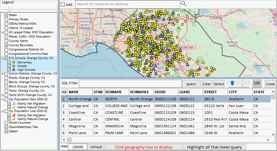
The graphic below illustrates use of the Table/Grid with a K-12 school layer (point shapefile).
Starting the Table/Grid splits what was only the Map Window in the Map Window and Table/Grid.
The Table/Grid is organized similar to a spreadsheet and shows
.. one row for each shape in the shapefile dbf.
.. one column for each field in the shapefile dbf.
The relative parts of the Map Window-Table/Grid panel can be adjusted by sliding the splitter bar positioned between them.

Using the Table/Grid
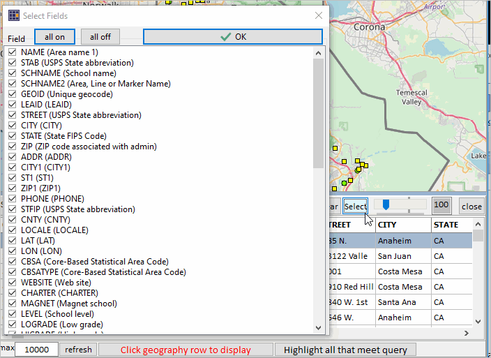
Select Fields (Select button)

