About CVGIS Projects

Contents
A project file is a text file read by CVGIS to define layers, layer settings, layer relationships, shapefiles and datasets used to create a map view and/or perform geospatial analysis
CVGIS Projects are used to specify a certain set of datasets and relates data that are organized in a certain way known to the CVGIS software.
The start-up CVGIS Project is described here.
More information on CVGIS Projects is provided in this related section.
At CVGIS start-up, the CVGIS Project specified in the CVGIS settings/configuration file is opened.
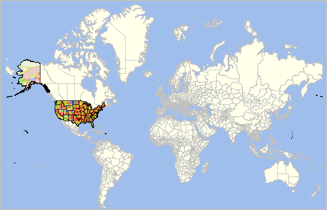
The interpreted structure of the Project is displayed in the left panel (legend panel) of the window. Each of the GIS layers listed in the legend panel correspond to a shapefile or other data described in the Project.
The Project also contains settings for each of those layers that determine how they are displayed in the GIS Map Window.
When the default "cvgis1.gis" project is opened to "full extent" in the map window, the view appears as shown in the following graphic: