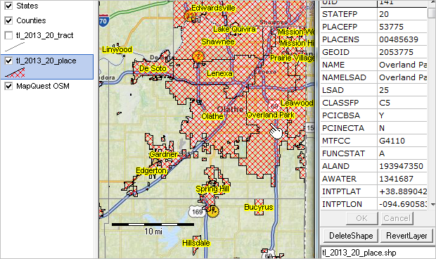
Cities/Places include incorporated places (legal entities) and census designated places (statistical entities).
Overview -- Scroll section
Incorporated Places are those reported to the Census Bureau as legally in existence as of January 1, 2013, under the laws of their respective states. An incorporated place is established to provide governmental functions for a concentration of people as opposed to a minor civil division (MCD), which generally is created to provide services or administer an area without regard, necessarily, to population. Places may extend across county and county subdivision boundaries, but never across state boundaries. An incorporated place usually is a city, town, village, or borough, but can have other legal descriptions. For census purposes, incorporated places exclude:
-- boroughs in Alaska (treated as equivalents of counties)
-- towns in the New England states, New York, and Wisconsin (treated as MCDs)
-- boroughs in New York (treated as MCDs)
Census Designated Places (CDPs)are the statistical counterparts of incorporated places. CDPs are delineated to provide data for settled concentrations of population that are identifiable by name, but are not legally incorporated under the laws of the state in which they are located. The boundaries usually are defined in cooperation with local partners as part of the Census Bureau’s Participant Statistical Areas Program, or in cooperation with tribal officials as part of the Tribal Statistical Areas Program. The boundaries of CDPs, which usually coincide with visible features or the boundary of an adjacent incorporated place or another legal entity boundary, have no legal status, nor do these places have officials elected to serve traditional municipal functions. CDP boundaries may change from one decennial census to the next with changes in the settlement pattern; a CDP with the same name as in an earlier census does not necessarily have the same boundary. There are no population size requirements for CDPs. In the nine states of the Northeast (Connecticut, Maine, Massachusetts, New Hampshire, New Jersey, New York, Pennsylvania, Rhode Island, and Vermont) as well as Michigan, Minnesota, and Wisconsin, a CDP may represent a densely settled concentration of population within a town or township; in other instances, an entire town or township may be defined as a CDP.
Hawaii is the only state that has no incorporated places recognized by the Census Bureau. All places shown in data products for Hawaii are CDPs. By agreement with the State of Hawaii, the Census Bureau does not show data separately for the city of Honolulu, which is coextensive with Honolulu County. In Puerto Rico, which also does not have incorporated places, the Census Bureau recognizes only CDPs. The CDPs in Puerto Rico are called comunidades or zonas urbanas. Guam and the Commonwealth of the Northern Mariana Islands also have only CDP's.
Place Codes—The FIPS place code uniquely identifies a place within a state. If place names are duplicated within a state and they represent distinctly different areas, a separate code is assigned to each place name alphabetically by the primary county in which each place is located, or, if both places are in the same county, alphabetically by their legal descriptions (for example, "city" before "village"). All places also have an eight-character ANSI code.
Dependent and Independent Places—Depending on the state, incorporated places are either dependent within, or independent of, county subdivisions, or there is a mixture of dependent and independent places in the state. Dependent places are part of the county subdivision; the county subdivision code of the place is the same as that of the underlying county subdivision(s), but is different from the FIPS place code. Independent places are not part of any minor civil division (MCD) and serve as primary county subdivisions. The independent place FIPS code usually is the same as that used for the MCD for the place. The only exception is if the place is independent of the MCDs in a state in which the FIPS MCD codes are in the 90000 range. Then, the FIPS MCD and FIPS place codes will differ. CDPs are always dependent within county subdivisions and all places are dependent within statistical county subdivisions.
Independent Cities- Baltimore city, MD; St. Louis city, MO; Carson city, NV; and all 39 cities in Virginia are not part of any surrounding county and are treated as both equivalent to a county and an MCD (in MCD states). The FIPS code for St. Louis city is the same as the FIPS county subdivision code. All the others have differing FIPS place and county subdivision codes. At the county level, independent cities have a three-digit county code of 500 or higher.
Geographic Corridors and Offset Geographic Boundaries—A geographic corridor (formerly called corporate corridor) is a narrow, linear part of an incorporated place (or in a very few instances, another type of legal entity). The geographic corridor includes the street and/or right-of-way, or a portion of the street and/or right-of-way within the incorporated place. It excludes from the incorporated place those structures such as houses, apartments, or businesses that front along the street or road. Figures 5 and 6 depict geographic corridors and geographic offset limits.