Phoenix Metro Area -- Focus on Places

Contents
Illustrating use of CommunityViewer to view/analyze city/place boundary and boundary change analysis.
Use new city/place boundary files (shapefiles) updated to reflect legal/official boundaries as of January 2009. These new shapefiles are available (new October 2009) from Proximity and may be integrated with other wide ranging geography for mapping and geospatial analysis.
See related: http://proximityone.com/places.htm
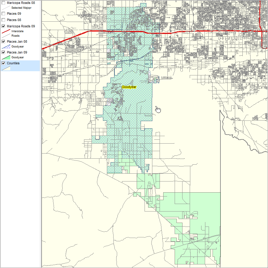
This view illustrates boundary change for Goodyear, AZ between January 1, 2008 and January 1, 2009. See legend at left. Goodyear city/place area by pointer is newly annexed since January 1, 2008. Crosshatching shows January 1, 2008 boundary; solid pattern shown January 1, 2009 boundary/area. Scottsdale, unchanging between 2008 and 2009, also shown. Query operation used to select only these two places.
This type of place geography update and analysis is supported Proximity resources for all city/places in U.S.
|
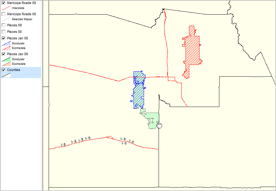
Zoom-in view of previous view. See text description in previous view.
|
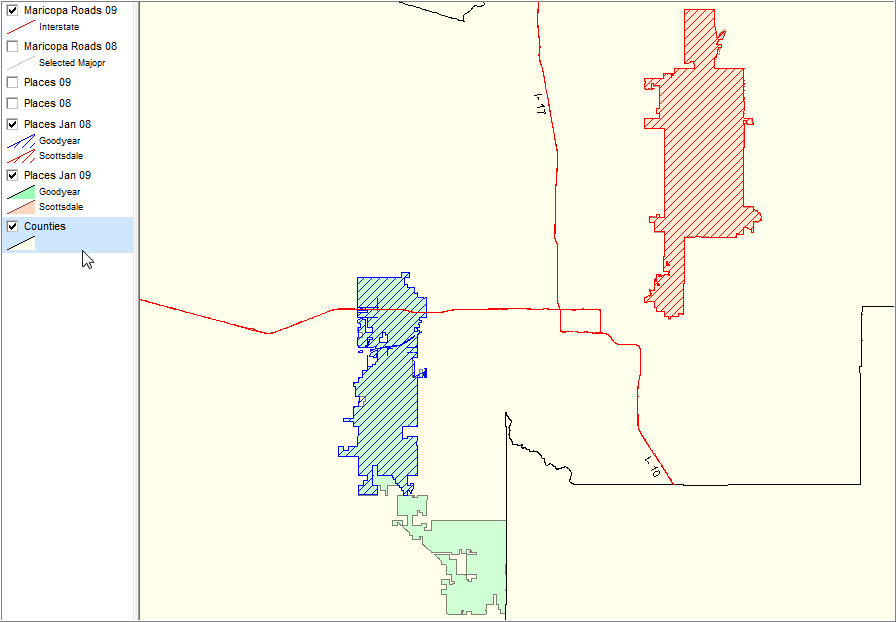
Zoom-in view of Goodyear, AZ showing Interstate (red) and all roads. 2008 incorporated area with blue diagonal crosshatch pattern (northern area near pointer). 2009 incorporated area with green solid fill pattern. Further zoom-in could enable more detailed views in context of specific roads.
|