U.S. by Urban Area

Contents
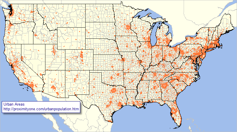
Illustrating use of CV XE GIS to view/analyze selected U.S. national scope project/applications.
See related urban population main section.
Urban Areas shown with orange fill pattern
http://proximityone.com/urbanpopulation.htm