|
Place/CDP GeoDemographics |
  
|
| Show/Hide Hidden Text |
|
Place/CDP GeoDemographics |
|
| Show/Hide Hidden Text |
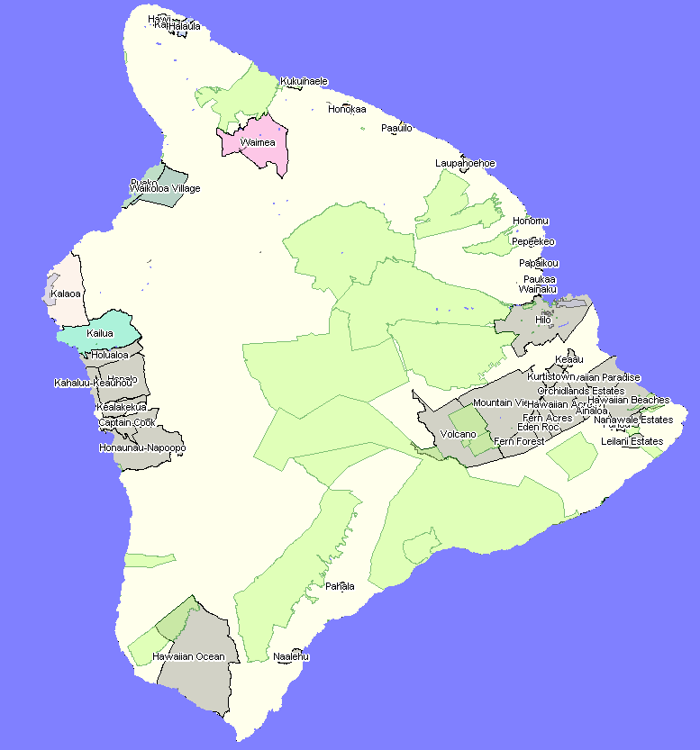
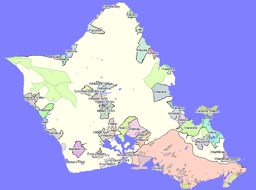
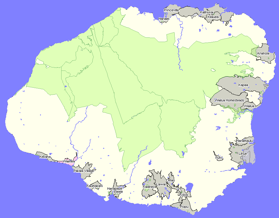
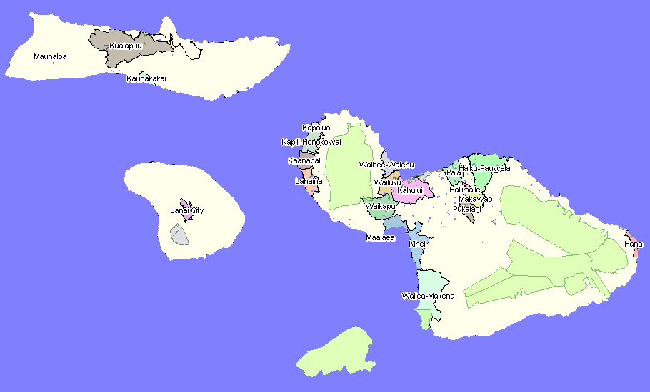
Places are areas of population concentration. In Hawaii, only the "City and County of Honolulu" is an incorporated place. As of Census 2000, 130 places were identified as Census Designated Places (CDPs). Data are tabulated for Hawaii CDPs, which have no governmental jurisdiction, based on the Census Bureau decennial census and American Community Survey (when the minimum population threshold is met). CDP boundaries, designated by the Census Bureau and a local statistical areas group, are defined by Census Bureau TIGER/Line shapefiles. Hawaii CDP boundaries used here are based on the TLS December 2008 vintage.
Proximity Place Demographic Trends Main Page -- http://proximityone.com/places.htm
Topics covered in this section:
County by County Place Maps
Click the links to toggle map views of places by county. These maps are generated using CommunityViewer (CV) and GIS project resources reviewed in a later section. You can use CV on your Win32 computer to generate maps like these with different labeling, zoom perspectives and integrated with other geography and data.
|
|
|
|
Page url: http://proximityone.com/hidmi/guide/index.html?places.htm