|
Roads |

|

|

|

|

|

|
|
|
Roads |
|
|
|

|

|
|
Roads
|
Roads |
|
|
|
|
|
|
|
|
Roads |
|
|
|
|
|
|
Roads
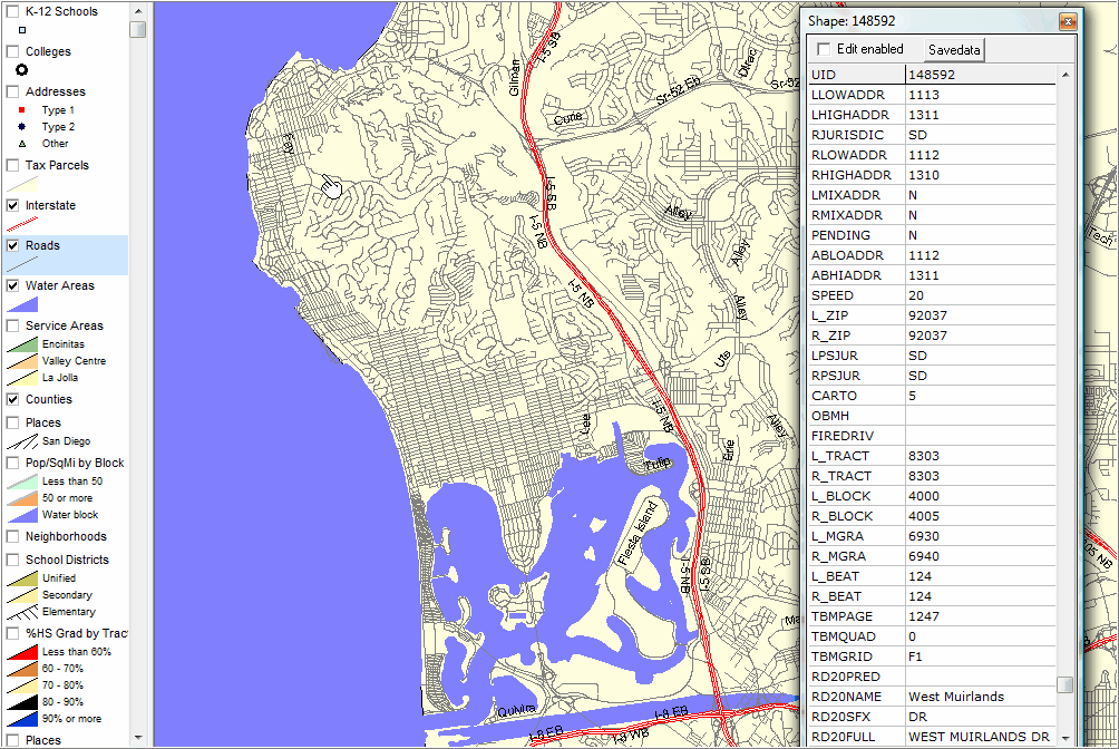
Showing Interstate and Roads layer; Identify tool used to display mini-profile (see pointer/hand) in upper left map section.
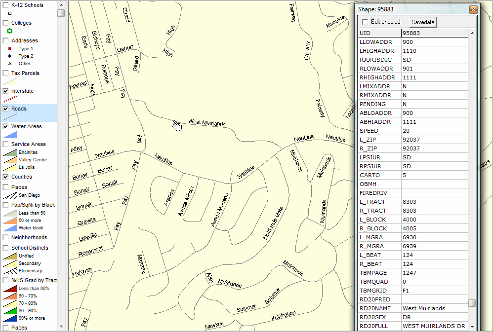
Zoom-in view of street segment profiles above, illustrating detailed street segment name labeling.
|
| Content & Usage Details |
Path=C:\cv\cafiles\tl_2009_06073_edgesroads.shp Name=Roads1 About: Augmented version of latest TIGER/Line edges shapefile. Extent: San Diego County
|