Congressional Districts

Contents
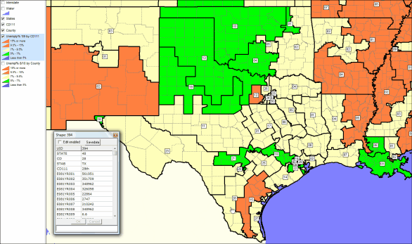
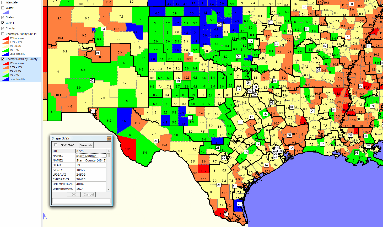
Using CVXE GIS and demographic pattern analysis ... this section compares the south central U.S. employment situation by congressional district (CD) to the employment situation by county. The latest county data (10/22/10) are for August 2010; the latest CD data are for calendar year 2009. Note how larger geographic areas can mask severity of unemployment situation in some CD component counties/areas.
Starr County, TX (see pointer near bottom of County map) is experiencing very high unemployment (17.3% unemployment as of 8/10). Overall, Texas CD 28 which contains Starr County (see pointer near bottom of Congressional District map) is in the moderate unemployment rate range (near 8%).
See related Congressional Districts section -- http://proximityone.com/cd.htm
Get demographic profiles for congressional districts of interest -- http://proximityone.com/cdprofiles.htm.
|
click toggle above for larger view of this map:

|
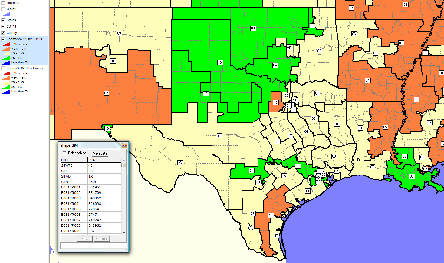
click toggle above for larger view of this map: