Prairie ESD, ID

Contents
Selected CommunityViewer project/application views in Idaho.
Navigate to sub-state areas: click on expanding text menu in left panel to view available sections.
The toggle graphic -- ![]() -- indicates an expanding section. Click the toggle or toggle line to view/close expanding sections.
-- indicates an expanding section. Click the toggle or toggle line to view/close expanding sections.
Integrating Census 2010 TIGER Shapefiles, ACS 2009 5-year demographics, Census 2010 demographics and related data..
See related interactive ranking tables:
| • | Idaho school district demographics: http://proximityone.com/sd_id.htm. |
| • | Idaho census tract demographics: http://proximityone.com/ustr0509_id.htm. |
| • | Census 2010 demographics: http://proximityone.com/cen2010_pl94171.htm |
(all US geography: state, congressional district, county, school district, city/place, metro)
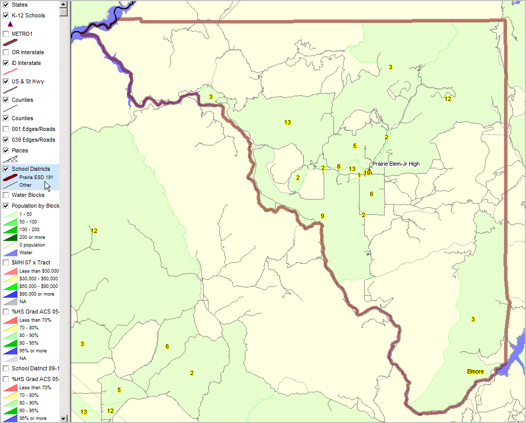
Prairie School District & Elmore County, ID
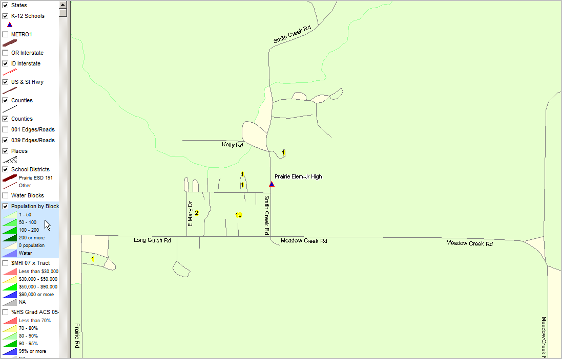
Prairie School District bold brown boundary. Census 2010 census blocks total population patterns; total population shown as yellow label in each block (except 0 population blocks) Roads shown as block lines.
|
|