Oneida CSD, NY SDGIS

Contents
Illustrating use of CommunityViewer to view/analyze K-12 schools, school districts in context of school district community with drill down to the intersection level focused on Oneida CSD, NY. These views show the Oneida CSD, NY base level School District GeoDemographic Information System (SDGIS). Geocoded student data are not shown.
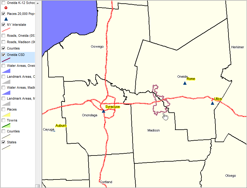
View demographic-economic trends profile for Madison County, NY and Oneida County, NY; access other county demographic profiles via ranking table links.
Places 20,000 population and over shown with blue markers (yellow label).
|
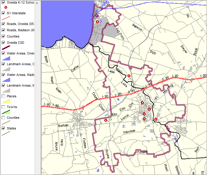
Geocoded student layer not shown.
|
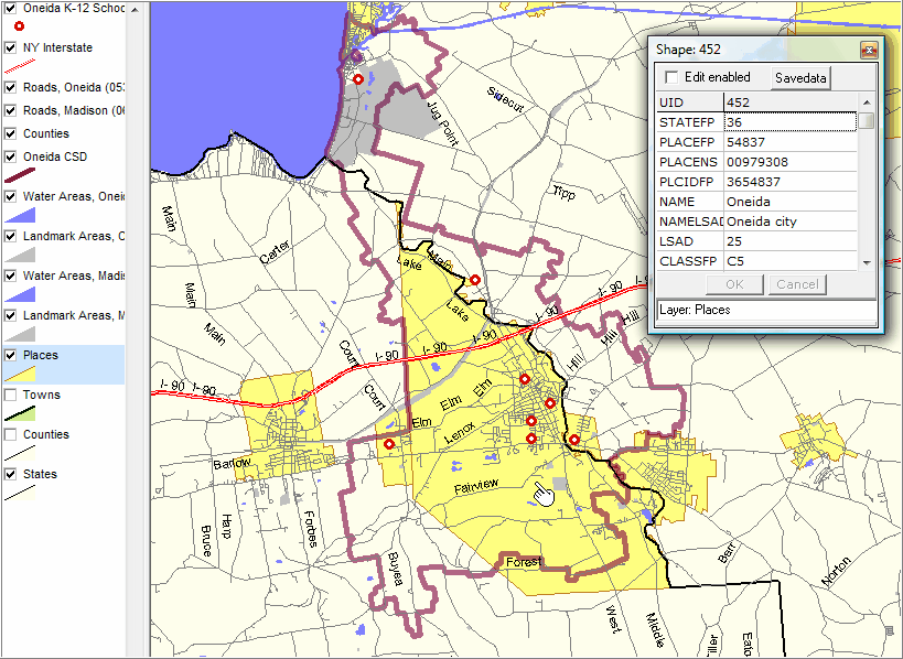
Places shown with yellow fill pattern. Identify tool used to show mini profile of Oneida city.
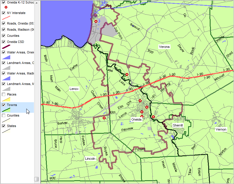
|
Towns/county subdivisions shown with green fill pattern and dark green boundary. Town labels shown with white solid fill pattern.
|