ESD113

Contents
Selected CommunityViewer project/application views in Washington.
Click toggle in Table of Contents at left to view sub-state applications.
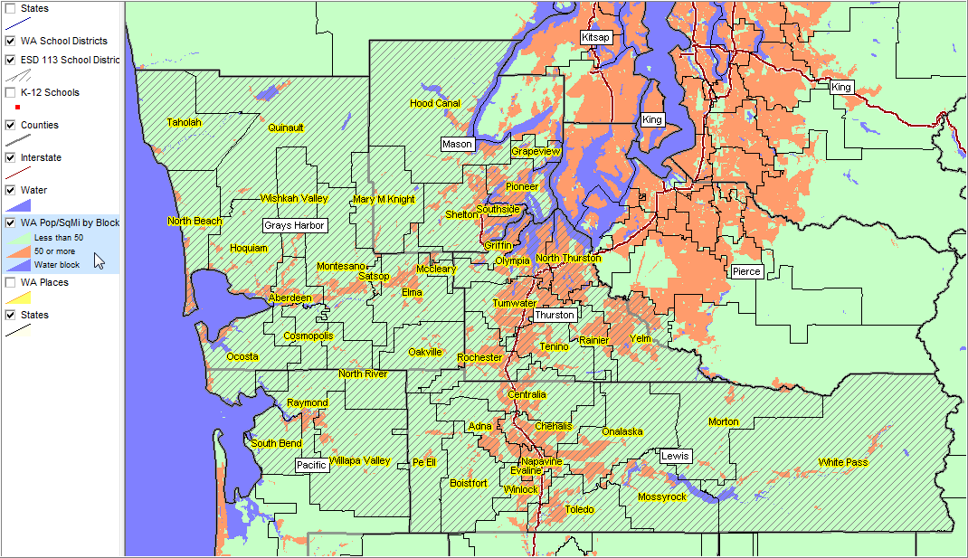
Integrating Census 2010 TIGER Shapefiles, ACS 2009 5-year demographics, Census 2010 demographics and related data..
See related interactive ranking tables:
| • | Washington school district demographics: http://proximityone.com/sd_wa.htm. |
| • | Washington census tract demographics: http://proximityone.com/ustr0509_wa.htm. |
| • | Census 2010 demographics: http://proximityone.com/cen2010_pl94171.htm |
(all US geography: state, congressional district, county, school district, city/place, metro)
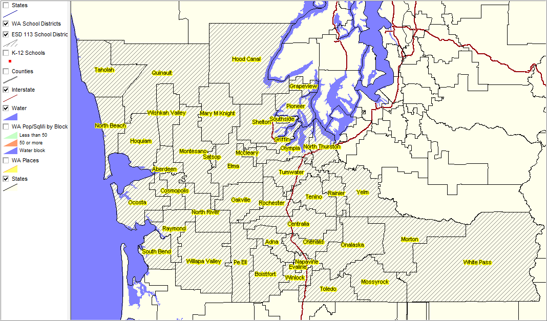
Focus on Washington Educational Service District 113.
|
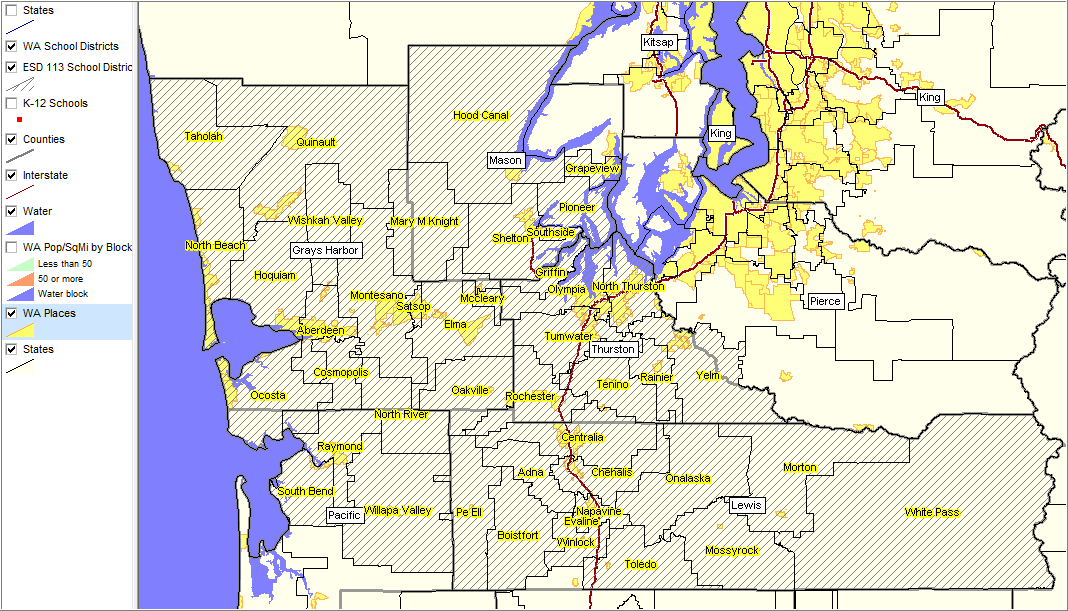
Clicking on county and places layers; places shown with yellow fill pattern.
|
|
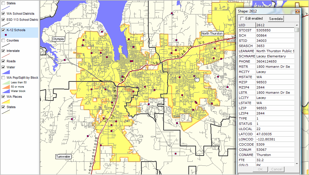
Places with yellow fill patterns; K-12 schools as red markers (one school profiled, see pointer and partial view mini-profile) School district boundaries shown with bold gray boundary. Detailed roads layer shown.
|