
|
|
|

-- expanding insights through data analytics July 2024 .. Healthcare resources, such as hospitals, clinics and physician offices, are not geographically equally accessible throughout the United States. These resources are located substantially more in urban areas and less in rural areas making it difficult to obtain full service healthcare in large swaths of the U.S. While there has been a proliferation in growth of health clinics, not hospitals, most do not provide many hospital services and overnight stay facilities. Participate in a Congressional Community to impact policy- and rule-making on topics like improving access to healthcare. Use tools and methods in this section to examine access to healthcare resources. Suppose you want to examine healthcare resources (hospitals) in context of an area such as a congressional district, congressional community, county or other area. Examining Access to Healthcare Resources .. using iVDA part of Visual Data Analytics .. more options available using VDAGIS Discovery The start-up view is presented below in an interactive mapping window .. watch video Locate a CD .. see it on a map .. examine its healthcare resources Click a box to view instructions. First time through, do each of these steps in order. Find a Congressional District (CD) based on an address/location (zooms to CD).. in the legend panel at left, click on the layer name for "Cong Districts Bold". It turns blue .. the active layer... enter an address or location like "Scottsdale, AZ" (no quotes, not case sensitive) .. the map view zooms-in to the CD containing the location and shows the CD crosshatched. .. view the demographic profile for this CD displayed in the lower left. .. here you can examine many demographic subject matter items for that CD. .. optionally click on other layers in the Legend Panel. .. Try a different address or location, maybe the ZIP code "85258" or any address/location. .. The view will zoom to that CD. Add selected layers; in the legend panel at left, click on these layers:
.. Cong District Code... Cong Comm Code .. Cong Communities .. the view now shows the CD with CCs and CC codes Examining Urban/Rural Patterns.. in the Legend Panel, left of map, click "Urban Layers" ckeckbox on... click on an Urban Area in map to view its attributes in lower left panel. .. hide this layer by unchecking the layer checkbox. Examining Patterns of the Dependency Ratio.. in the Legend Panel, left of map, click "Tracts DP1 Dep Ratio" ckeckbox on... click on an tract in map to view its attributes in lower left panel. .. hide this layer by unchecking the layer checkbox. About the Dependency Ratio .. In 2020, the dependency ratio for the total population in the U.S. was 63.6 .. children under age 18 and adults age 65 and older for every 100 working-age person ages 18 to 64.
Examining Patterns of Healthcare Resources/Hospitals.. in the Legend Panel, left of map, click "Hospitals" ckeckbox on (scroll down)... click a hospital red marker to view its attributes in lower left panel. .. hide this layer by unchecking the layer checkbox. In this illustrative section, CMS (Centers for Medicare & Medicaid Services) hospitals are used as a proxy for the broader set of healthcare resources which include "medical centers", clinics, physician offices and others. Hospitals registered with CMS are used in GIS applications.
Below is a static graphic example of using iVDA as described above. 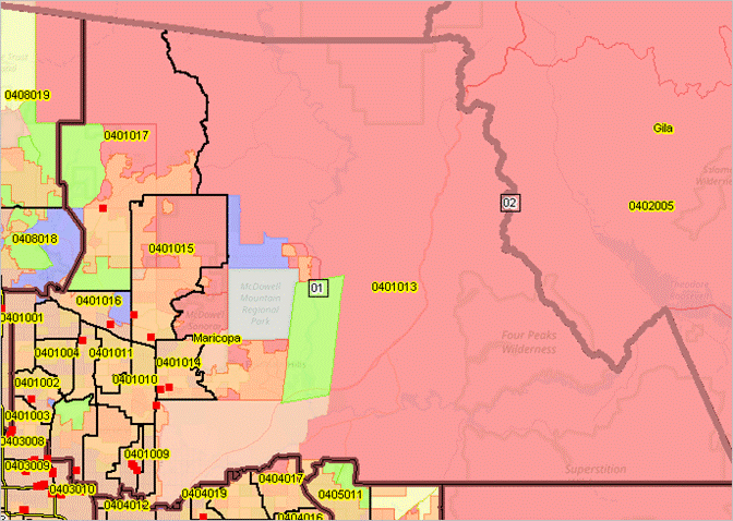 Support Using these Resources .. goto top Learn more about demographic economic data and related analytical tools. Join us in a Data Analytics Lab session. There is no fee for these Web sessions. Each informal session is focused on a specific topic. The open structure also provides for Q&A and discussion of application issues of interest to participants. Contact us (888-364-7656) with questions about data covered in this section or to discuss related tools, data or analyses. |
|
|