|
Roads Comparison |
  
|
|
Roads Comparison |
|
In this section, roads generated from processing the TIGER/Line edge shapefiles are compared to the Honolulu County streets centerline shapefile. Degree of similarity/comparison varies throughout the county. These views only compare one area. The following view shows the same area as used in previous section views.
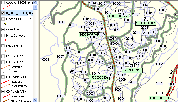
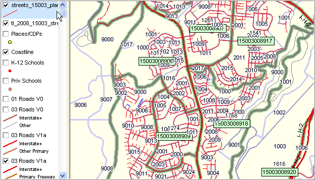
The next view shows the County sourced streets centerline file depicted as red lines. The overall match-up, as expected, is quite good.
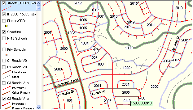
In the following zoom-in, many differences become apparent in segment to segment details. Block 1004 is shown in the area near the pointer. The TIGER/Line derived streets shapefile shows 1) an exact match of of the street segments with the block boundaries and 2) smaller [apparently] roads that appear within the block area that are not shown in the County streets centerline file. The County streets centerline file shows a more sharp angular and slightly different path that the pattern shown by the Census sourced file. These differences are typical in any state/county/area.
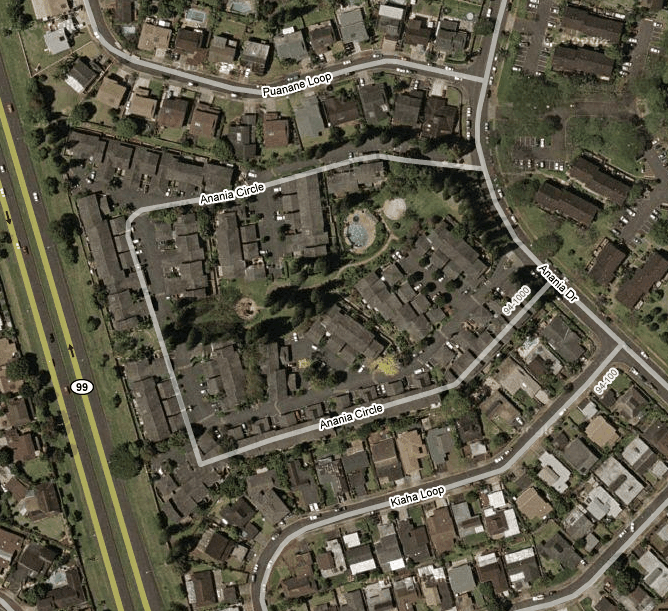
The Google-based satellite view of the circle is shown below.
Page url: http://proximityone.com/hidmi/guide/index.html?roads_comparison.htm