Using GeoGateway with Census Blocks
Overview
Using the CV XE GIS File>GeoGateway feature - focus on census blocks
.. at your fingertips .. a library of shapefiles with wide-ranging geography.
See a list of videos at http://proximityone.com/videos.htm.
Learn how to ...
.. adding ready-to use census block layer/shapefile to an existing project
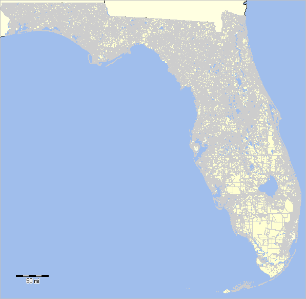
.. using Florida as example; 485,000 census blocks
This video uses:
.. CV XE GIS software
.. US1_miami.GIS project (placed on your computer by CV XE GIS installer).
.. could be any GIS project
Related resources:
.. about GIS
.. about the US1_miami GIS project .. in this guide
Click this link to start video
Topics reviewed in video:
.. see more in general about GeoGateway in related video
.. using GeoGateway to access/use census block geography
- why is a census block shapefile needed?
.. smallest geographic area for which Census data re tabulated
.. smallest/elemental geography on which all other political/statistical geography are based
.. essential to redistricting
.. steps to start and use GeoGateway to access block files
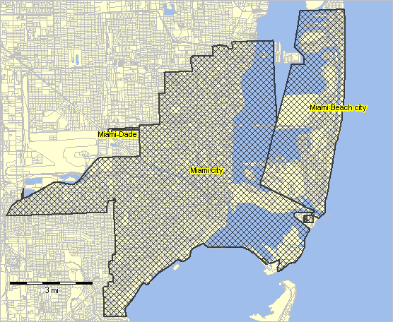
.. examining block geography in a project
setting RGB colors
160
190
236
Miami Area Census Blocks

Florida Blocks

