

|
|
-- examining Census 2010 & Census 2020 geography & demographics -- a focus on Los Angelse County and California May 2021 .. Geographic Information System (GIS) tools/applications provide the capability to develop maps and perform geospatial analysis. More than this, GIS tools can be used in collaborative settings to convey/discuss geography and subject matter patterns such as demographic characteristics, patterns and change. See more about GIS. This section is focused on the development and use of a GIS project for the Encino area within Los Angeles County. The Encino area is shown in context of the county using this graphic developed by the Los Angeles Times. While initial focus is on the Encino area, roughly 3 miles square, most layers used in the project are use California statewide and Los Angeles County countywide geography/shapefiles. Information provided here is part of the ProximityOne User Group support and development program. This section is in a developmental stage. It will be improved and expanded over time. It has been developed in part for use in the Data Analytics Web Sessions. Getting Started To complete development of the GIS project requires a Windows computer. Being familiar with Windows Explorer (file and folders). zip files, and general file management are needed. No specific training or experience in the use of GIS is required. Experience with Ceneus Bureau geographic and subject matter terminology will be helpful. Install the ProximityOne CV XE GIS software. Run the installer on a Windows-based computer. Join (check CV checkbox) the User Group userid is required. There are no fees to complete steps in the basic operations but some features may requires the fee-based CV XE GIS Level 1 or higher. Using Census Bureau Geographic & Subject Matter Data Resources The GIS project makes extenive use of the Census Bureau TIGER shapefiles. These files contain data that can be used to represent different types of point, line, and polygon geography covering the U.S. earth surface. TIGER shapefiles, and related derivative products, play an important role in wide-ranging geospatial analyses and decision-making information solutions. Warren Glimpse, founder of ProximityOne, developed the Columbia, MO GBF/DIME file used as the prototype for the TIGER/Line program and is developer of CV XE GIS desktop and Web-based GIS applications/tools that facilitate use of the TIGER/Line data with other wide-ranging data in applications such as pattern/trend analysis, geospatial processing and location-based operations. The Census Bureau has recently released the Census 2020 P.L. 94-171 TIGER vintage data. Development of this GIS project makes use of Census 2010 and Census 2020 vintage shapefiles. Other shapefiles are inlcude din the GIS project. Encino GIS Project Objectives The following graphic shows a zoom-in to the Encino GIS Project that can be deveoped by following steps described below or covevered in more interactive detail Data Analytics Web Sessions. This graphic shows the CV XE GIS user interface with the developed Encino GIS project opne. 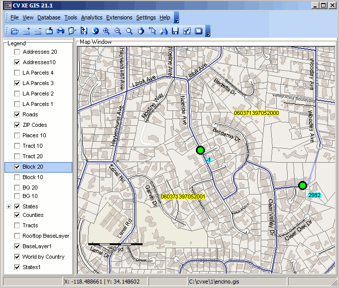 The remainder of this docuemnt is under development. 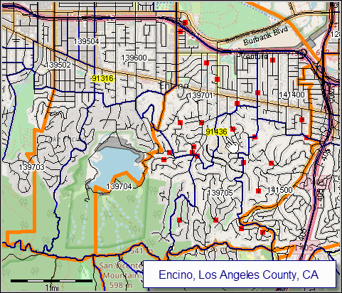 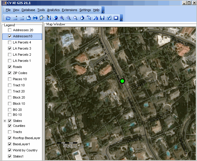 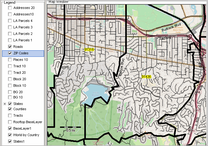 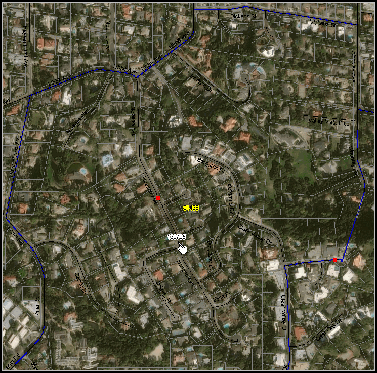 Support Using these Resources .. goto top Learn more about demographic economic data and related analytical tools. Join us in a Data Analytics Lab session. There is no fee for these Web sessions. Each informal session is focused on a specific topic. The open structure also provides for Q&A and discussion of application issues of interest to participants. ProximityOne User Group .. goto top Join the ProximityOne User Group to keep up-to-date with new developments relating to geographic-demographic-economic decision-making information resources. Receive updates and access to tools and resources available only to members. Use this form to join the User Group. Additional Information .. goto top ProximityOne develops geographic-demographic-economic data and analytical tools and helps organizations knit together and use diverse data in a decision-making and analytical framework. We develop custom demographic/economic estimates and projections, develop geographic and geocoded address files, and assist with impact and geospatial analyses. Wide-ranging organizations use our software, data and methodologies to analyze their own data integrated with other data. Follow ProximityOne on Twitter at www.twitter.com/proximityone. Contact ProximityOne (888-364-7656) with questions about data covered in this section or to discuss custom estimates, projections or analyses for your areas of interest. |
|
|