|
|
|
Congressional Districts & State Legislative Districts Data Analytics -- Using the CDSLD_VA GIS Project
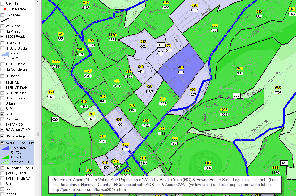
Learning Sessions, Data Analytics & GIS Projects for Other Areas While this section is focused on Virginia statewide applications with drill-down to census block level, similar face-to-face sessions and web sessions, with associated GIS projects, datasets and applications are available for the U.S., state, community or region. Contact us for more information. Key in message in text section or call us at 888.364.7656. Join us in upcoming CDSLD Data Analytics Face-to-Face Sessions: • March 31, 2018 (Sat); 10:00am - 12:00pm; Alexandria, VA .. set reminder .. see related -- Redistricting & Census 2020 • Register here .. space is limited, registration is required The GIS project and software are available to authorized users and require a userid and password provided separately. Terms of use include no redistribution of the software or data. See terms of use. The CDSLD GIS package is an integrated set of ready-to-use software and data. Using GIS technologies, stakeholders may use these resources to examine voter-related data, congressional districts, state legislative districts, precincts with demographic economic data for those areas as well as census blocks, block groups, census tract, counties, cities/places and geography including intersection to intersection street segment detail. Create views at the neighborhood or state/national level. ProximityOne develops, deploys and supports CDSLD GIS applications tailored to individual CDs, SLDs, cities, metros, states, etc. Contents • CDSLD_VA GIS Start-up View • CDSLD GIS Project -- Structure & Layers • Data Analytics Software & GIS Project/Datasets Installation GIS Start-up View Use the CDSLD GIS Project/Datasets with the CV XE GIS software ... authorized members can start using these data analytics tools ... install on your Windows computer; used/reviewed in face-to-face & web sessions ... start-up view:; click graphic for larger view  -- view created using CV XE GIS and associated GIS Project. -- click graphic for larger view. Additional Views/Files .. goto top Roanoke, VA area GIS project file -- va_h011a.gis • VA House District 11; patterns of median housing value by block group • VA House Districts in vicinity of Roanoke • VA Senate Districts in vicinity of Roanoke • Multi-District Profile; House/Senate Districts in vicinity of Roanoke (xls) .. create similar files (any set of SLDs) using table at http://proximityone.com/sld2016.htm GIS Project Shapefiles/Datasets .. goto top The GIS project file is a text file that contains a list of layers that may be viewed when the GIS project file is opened using the CV XE GIS software. Layers included is the CDSLD GIS project are summarized below. Using the CV XE GIS software, layers may be removed, added or attributes modified. Scroll section:
GIS Software and Project Installation .. goto top Installation requirements include: • Windows computer with Internet connection • Userid and password provided separately .. to obtain Userid and password, register here; click CDSLD session(s) attending ("Registering for ...") • Agree to Terms of Use Terms of Use .. goto top • The software nor data provided may be redistributed in any manner. • No fee can be charged for direct of indirect use of the software or data. • The data are used only with the CV XE GIS software. • There is no warranty of any type with respect to any aspect of the software or data. Follow these steps to install the GIS project and related data files. 1. Install the CV XE GIS software ... run the CV XE GIS installer ... take all defaults during installation ... the GIS project described below may be used with any CV XE GIS version/level 2.1. Create a new folder c:\cdsld ... if that folder exists, rename it to c:\cdsld_old then create the folder c:\cdsld 2.2. Install the CDSLD_VA GIS project fileset ... unzip CDSLD_VA GIS project files to local folder c:\cdsld ... please confirm that the project files have been unzipped to the folder c:\cdsld. 3. Open the c:\cdsld\cdsld_va.gis project ... start CV XE GIS using the desktop icon ... click File>Open>Dialog ... open the file named c:\cdsld\cdsld_va.gis 4. Done. The start-up view is appears as shown above. ... see next steps notes Next Steps: Using the CDSLD_VA GIS project The CV XE GIS installer automatically installs a GIS project when installed. ... the default name/location of this project is c:\cvxe\1\us1.gis. When installation step 2 above was completed, another GIS project was installed. ... as described above the name/location of that project is c:\cdsld\cdsld_va.gis. To get help/more information, see http://proximityone.com/cvxe/guide/index.html?startup.htm. To recap, there are now two GIS projects available for use. 1 - c:\cvxe\1\us1.gis 2 - c:\cdsld\cdsld_va.gis. At start-up, CVXE reads the initialization configuration file and by default opens the c:\cvxe\1\us1.gis GIS project. As described in the installation step 3 above, open the cdsld_va.gis project (not case sensitive) with these steps: ... start CV XE GIS using the desktop icon ... click File>Open>Dialog ... open the file named c:\cdsld\cdsld_va.gis Optionally enter the file name "c:\cdsld\cdsld_va.gis" (no quotes) in the Start-up settings "Start-up GIS project" to make this the default GIS project opened when CV XE GIS is started. The next steps focus on what to do with the CDSLD_VA GIS project. (we go through these steps in the session) 1. as mentioned above, see http://proximityone.com/cvxe/guide/index.html?startup.htm as needed. 2. emulate the process of creating the map views shown in http://proximityone.com/cdsld/vasldh44.pdf. ... the views in that PDF were developed using this GIS project. 2.1. the cover page looks similar to the cdsld_va.gis start-up view. 2.2. create page 2 view by clicking the Fairfax roads layer checkbox on (see in legend panel at left with CV running). 2.3. create page 3 view by clicking the BG - $MHI layer on (see in legend panel at left with CV running). 2.4. create page 4 view by a) uncheck BG - $MHI layer then b) check BG - Totpop layer on. 2.5. create page 5 view by a) uncheck BG - Totpop layer then b) check BG - CVAP layer on. ... pause to compare & create insights .. the large create area toward center of map shows total population (2.4 view) of 1,858 while the CVAP population (2.5 view) is 1,275. 2.6. create page 6 view by a) uncheck BG - CVAP then b) check on three layers: Tracts Codes, Tracts HS Grads and Tracts $MHI. Experiment with navigation. We will cover more of this is the session. Support Using these Resources Learn more about accessing and using demographic-economic data and related analytical tools. Join us in a Data Analytics Lab session. There is no fee for these one-hour Web sessions. Each informal session is focused on a specific topic. The open structure also provides for Q&A and discussion of application issues of interest to participants. Additional Information ProximityOne develops geodemographic-economic data and analytical tools and helps organizations knit together and use diverse data in a decision-making and analytical framework. We develop custom demographic/economic estimates and projections, develop geographic and geocoded address files, and assist with impact and geospatial analyses. Wide-ranging organizations use our tools (software, data, methodologies) to analyze their own data integrated with other data. Follow ProximityOne on Twitter at www.twitter.com/proximityone. Contact us (888-364-7656) with questions about data covered in this section or to discuss custom estimates, projections or analyses for your areas of interest. |
|
|